118 Acres in Umatilla County, Pilot Rock, Oregon
Property Description
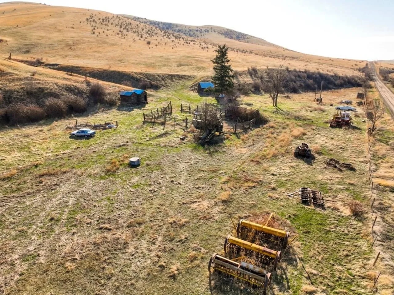
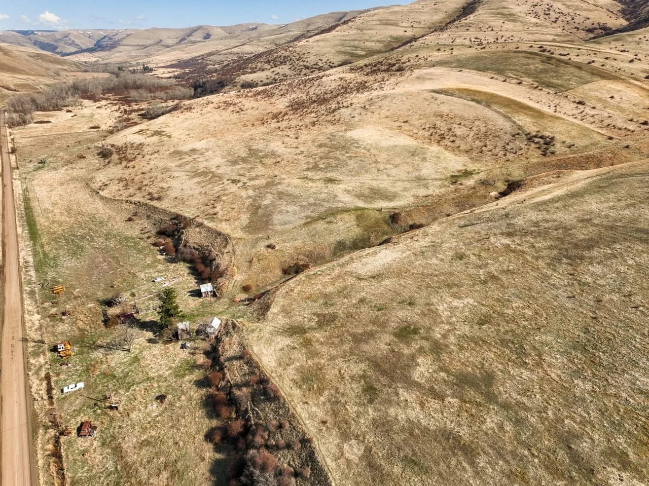
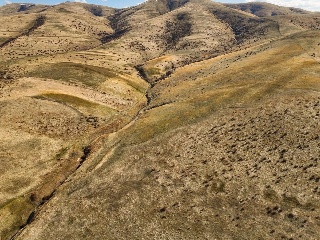
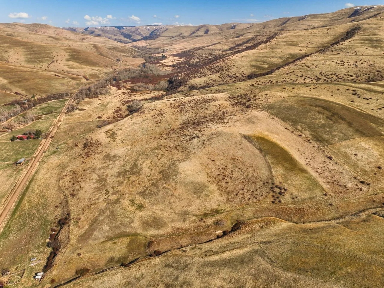
BUMPABLE OFFER!Located outside Pilot Rock, OR, and at the base of Blue Mountain foothills is the McKay Creek Acreage property. The estate offers 118 +/- acres of flat and gently rolling native grassland. Historically used as an old farm homestead, the property has power and a drilled well. Not far from the property is the town of Pilot Rock, where you will find a small community atmosphere with multiple stores, a gas station, excellent schools, and local services. Enjoy the unique opportunity for rural living and abundant wildlife just a short distance from the small timber town.46054 McKay Creek RoadPilot Rock, OR 97868Map & Tax Lot:1S 33-00-05800 Account Numbers: 1060171S 33-00-05900 Account Numbers: 106014Acres: 118.18 +/- AcresZoned: AG-22022 Taxes: $485.20Jurisdiction: CTUIR-Confederated Tribes of the Umatilla Indian Reservation Near By Towns:Pilot Rock, OR- 8 +/- MilesPendleton, OR- 18 +/- MilesHermiston, OR- 45 +/- MilesTri-Cities, WA- 86 +/- MilesPortland, OR- 226 +/- MilesBoise, ID- 230 +/- MilesAccess: Access to the property is from McKay Creek Road, a County maintained gravel road approximately 8 miles East of Pilot Rock, OR. Homesite: Currently, there is an old homesite on the property. The property does have a county site address, power, and a drilled well. The homes and outbuildings conditions are inhabitable and likely would need to be torn down and replaced.Planning/Building:The Tribal Planning Office will generally be your first stop if you want to build or replace the existing house on the property. The current Planning & Building staff will help ensure sure all projects on the Umatilla Indian Reservation have the necessary permits, and they review all proposed projects for adherence to the CTUIR Land Development Code and all the adopted Building Codes. Once permits are issued, Planning & Building staff also provides inspection services for ongoing work on constructed, renovated, or demolished buildings. Buyer to do own Due Diligence with the Tribal Planning Department to ensure Buyer’s satisfaction of the buildable aspect of the property. 541-276-3099 - Tribal Planning DepartmentBuyer(s) should review the Sub-Chapter AG-2 zoning description of the Land Development Code for the Confederated Tribes of the Umatilla Indian Reservation and Development Permit Process as part of their Due Diligence for building on the property.Local Area Utilities:Electrical-Umatilla Electric Co-opPropane- Morrow County Grain GrowersGarbage- Eastern Oregon Waste ManagementA phone landline would be the primary source of contact.None to limited LTE service is located at the home site.Wi-Fi: W-Tech link provides 4 Mbps or 8 Mbps plans in that area. Current monthly rates are $39 +/- per month for 4 Mbps and $63 +/- for 8 Mbps. Buyer to do own Due Diligence as to a service charge for bringing Wi-Fi to the home site. (If any).Water:Domestic Water Source: The domestic water is supplied from a Well drilled on the property. The depth of the well is 140 ft. Static water level:0. Gallons per minute: 350+Seller Disclosure: While there is a well that is drilled and present on the property, the sellers have never used it since their purchase. The condition of the…
Property Type
Location
More Land For Sale Near Umatilla County, oregon
MLS Details
Listing Office:
- Office Name: Whitney Land Company
- Listing Agent: James Whitney
|